“The world’s big and I want to have a good look at it before it gets dark.”
-John Muir

April 2019
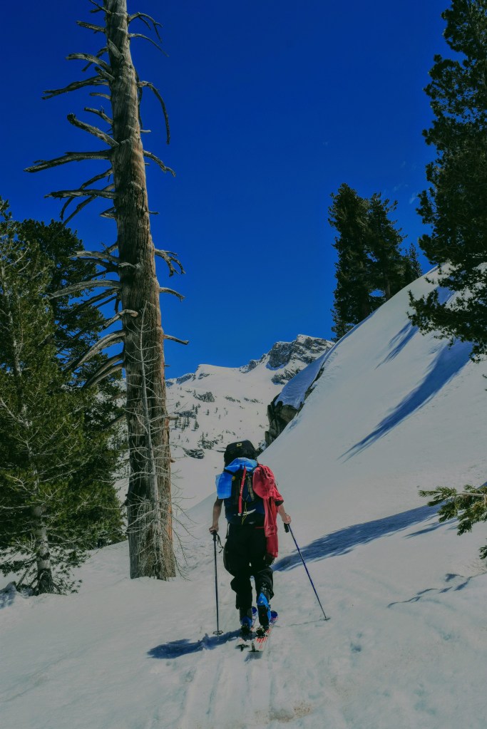
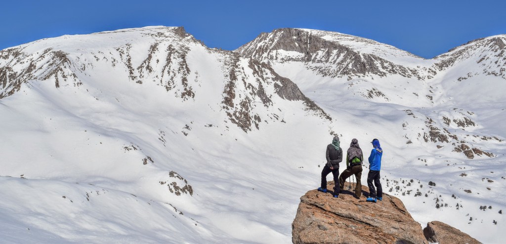
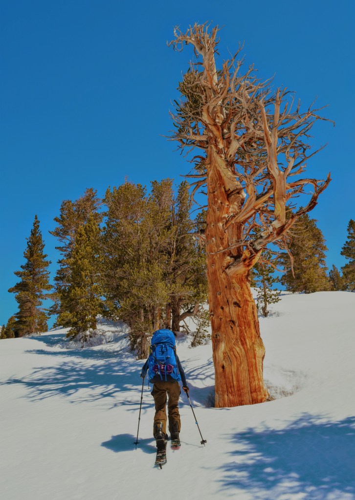
We were a group of four headed from the West side of the Sierra Nevada Mountain Range crossing towards the East. We had planned the trip in conjunction with another group of three friends headed in the opposite direction, from East to West. We planned to swap vehicles to avoid either group needing to make the long drive around the range to shuttle cars into position.


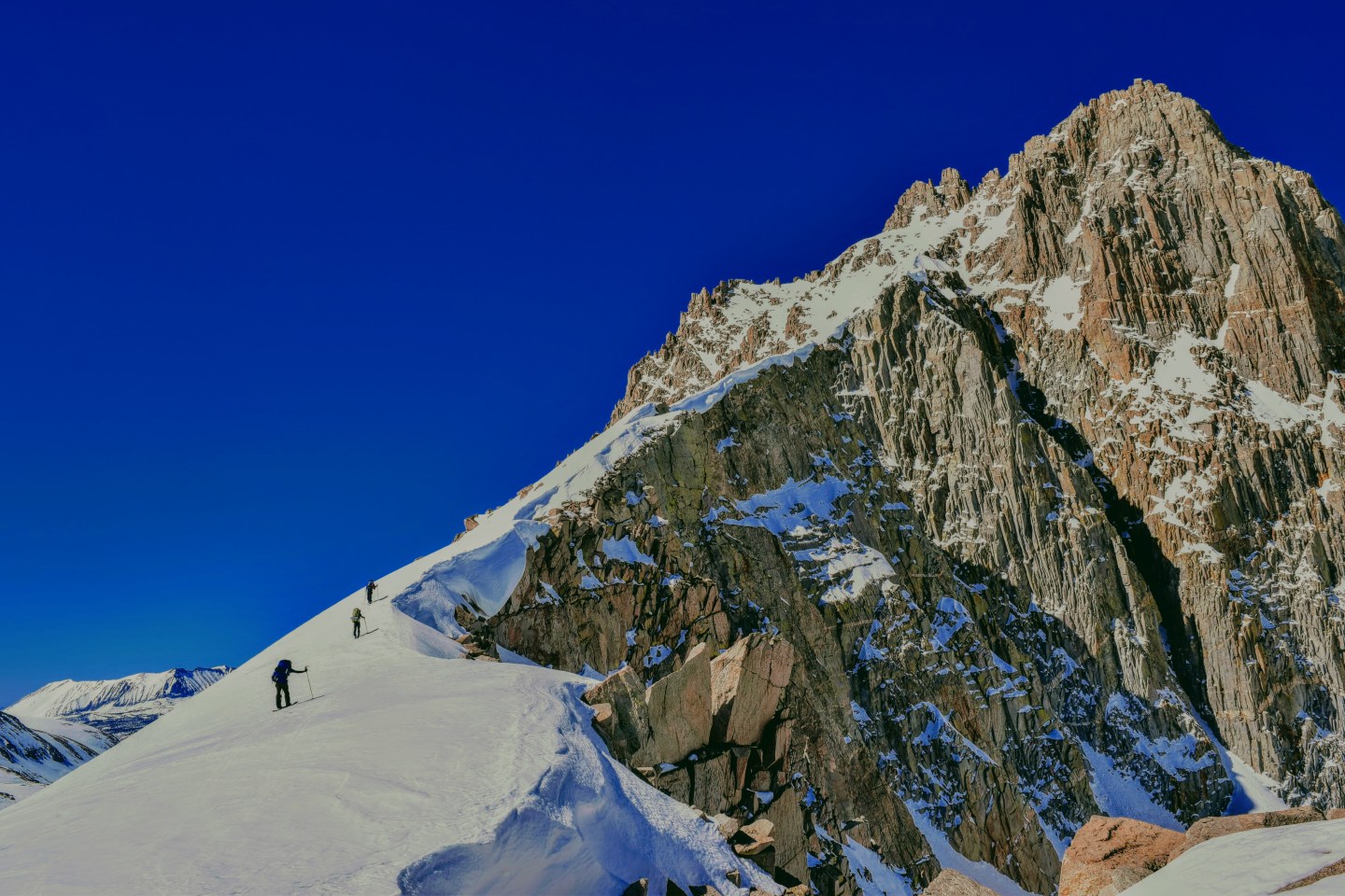
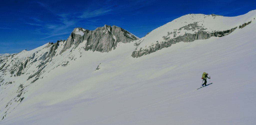
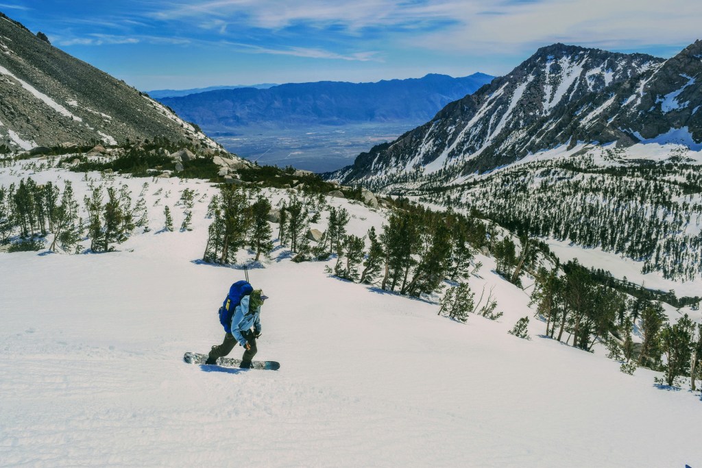
We loosely followed the Sierra High Route; a trans-Sierra ski tour first pioneered by David and Susan Beck in 1975. Check out this well written narrative on a past High Route crossing with David Beck as guide. This route is aptly named due to the high elevation maintained throughout much of its duration, the average elevation for the tour is just below 11,000 feet. This historic ski boasts views of some of the most striking peaks in the Sierra as it skirts along the boundaries of both Sequoia and Kings Canyon National Parks.

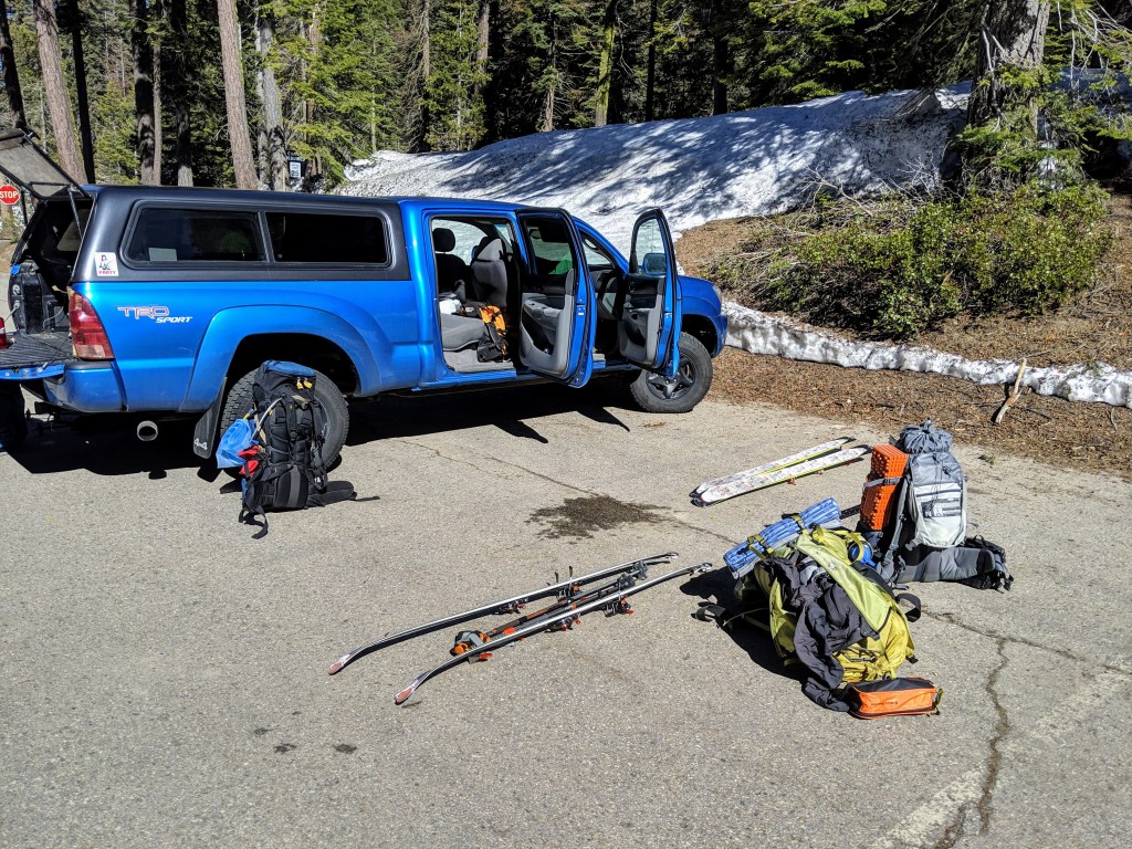
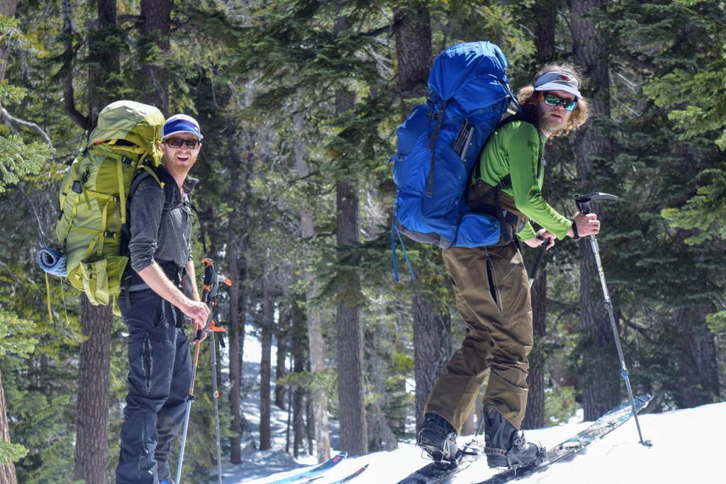
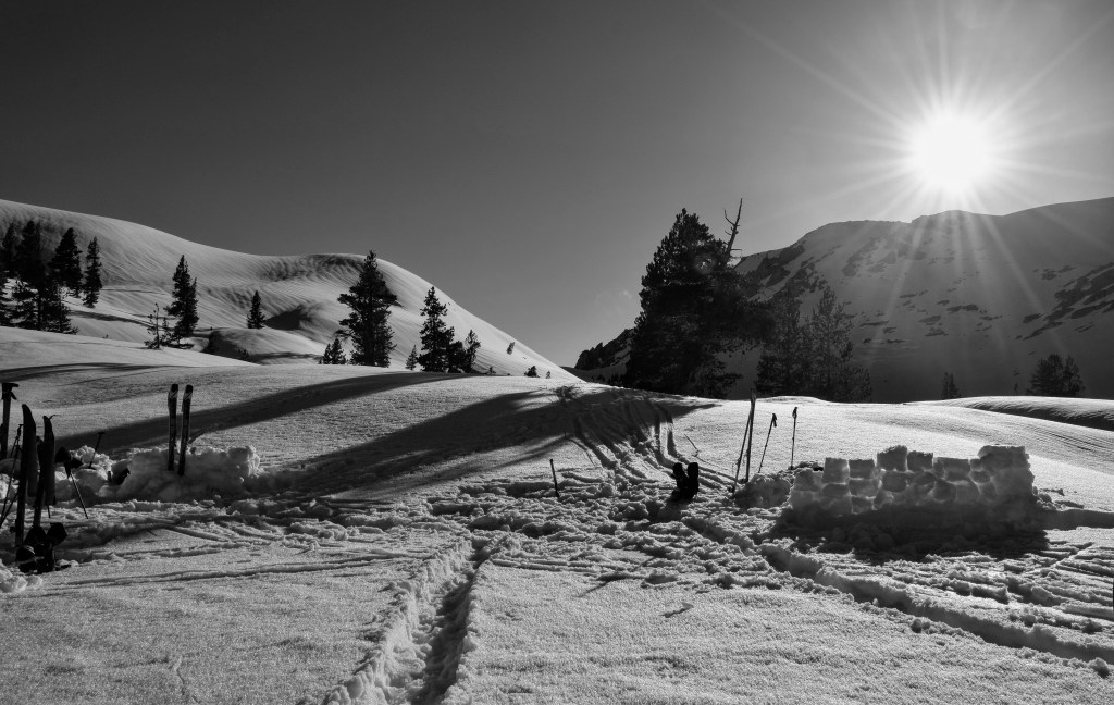
We geared up and departed from the old Wolverton Ski Area, just outside of Fresno, in the Sequoia National Park. The relic of a recreational ski hill is more of a snow play zone these days. It was first opened as a ski area in 1921. The Sequoia Ski Club acquired a special permit that allowed installation of rope tows for skiing in the 1940’s.


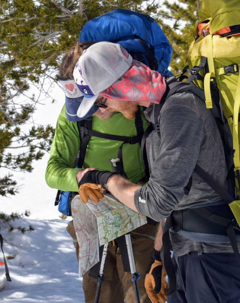
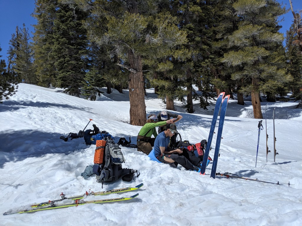
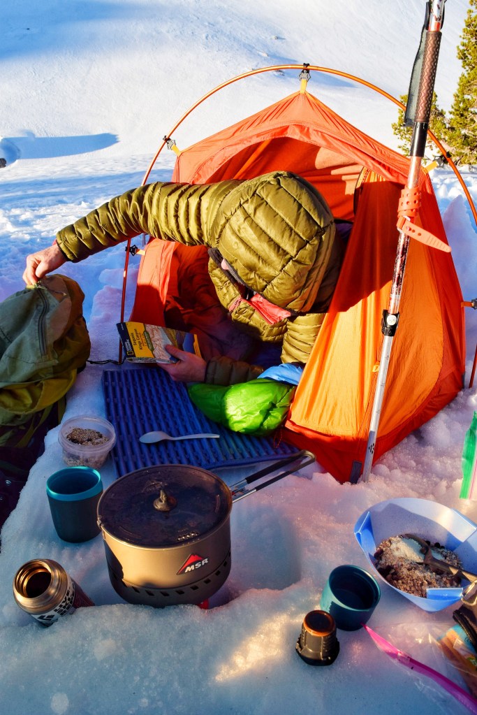
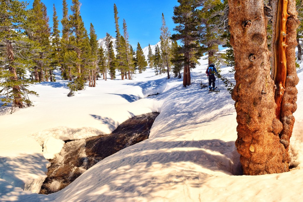
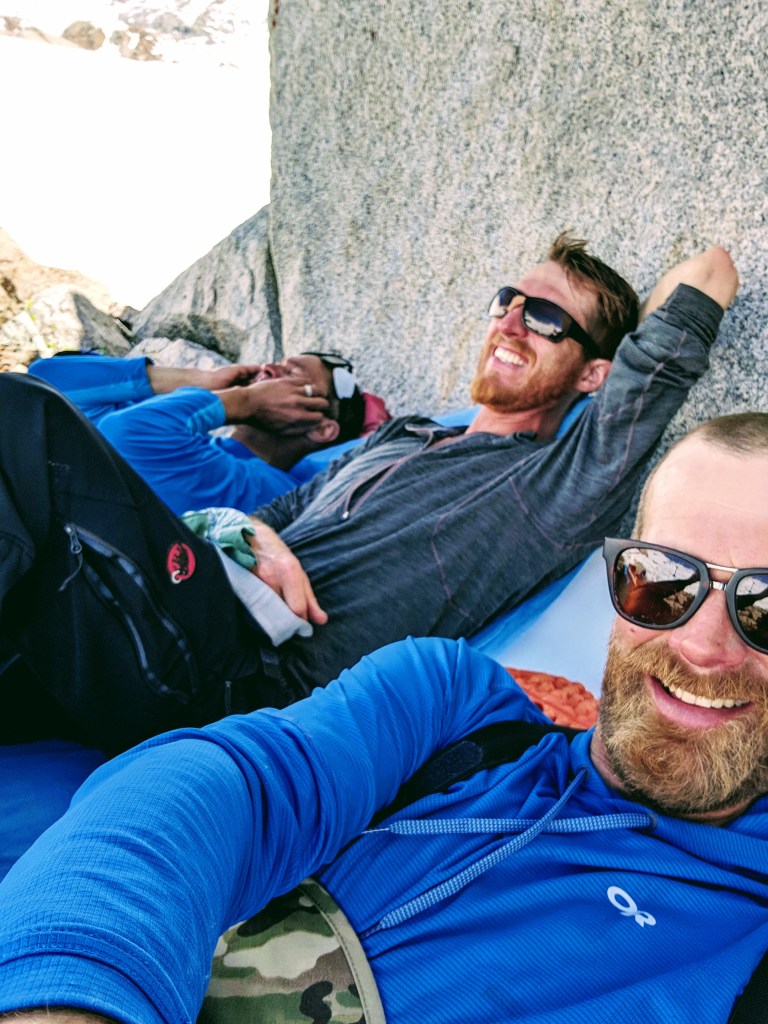
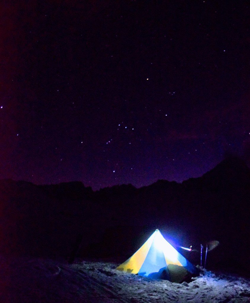
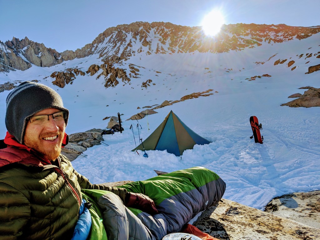
On this trek we made our way West, up past the Pear Lake Hut and on to the Table Meadow / Table Lands area to make our first night’s camp. Our East-to-West traveling team had departed a few days ahead of us, so our paths crossed on this first night. We made camp, reveled in the weight of our packs, poured over the map with the other group and ultimately climbed into sleeping bags for our first of what would be five nights in the Sierra.


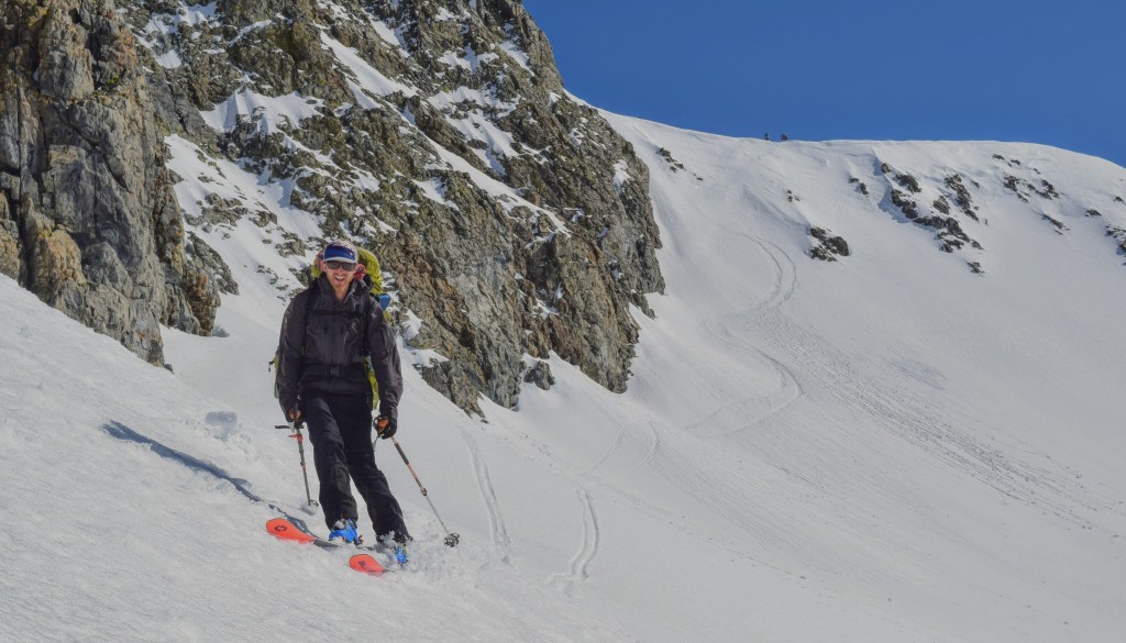

Our third morning of the trip was accentuated by the Delorme InReach satellite texting device sounding the “SOS has been triggered!” alarm as I awoke from my bivy. I had inadvertently sent the distress call while trying to use my pack as a pillow around 4:40 in the morning (despite being powered off with a screen lock set). An emergency response call center reached out to my wife, Lindsay and my parents in Minnesota to inform them that we needed help. As I realized the situation I was quickly able to text all parties that we were well and did not need assistance, but not before Lindsay and my parents had a few sleepless hours of worry! So, so sorry!!


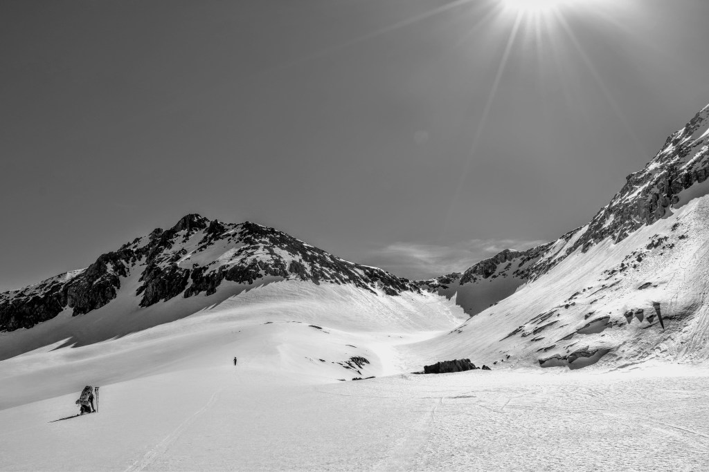

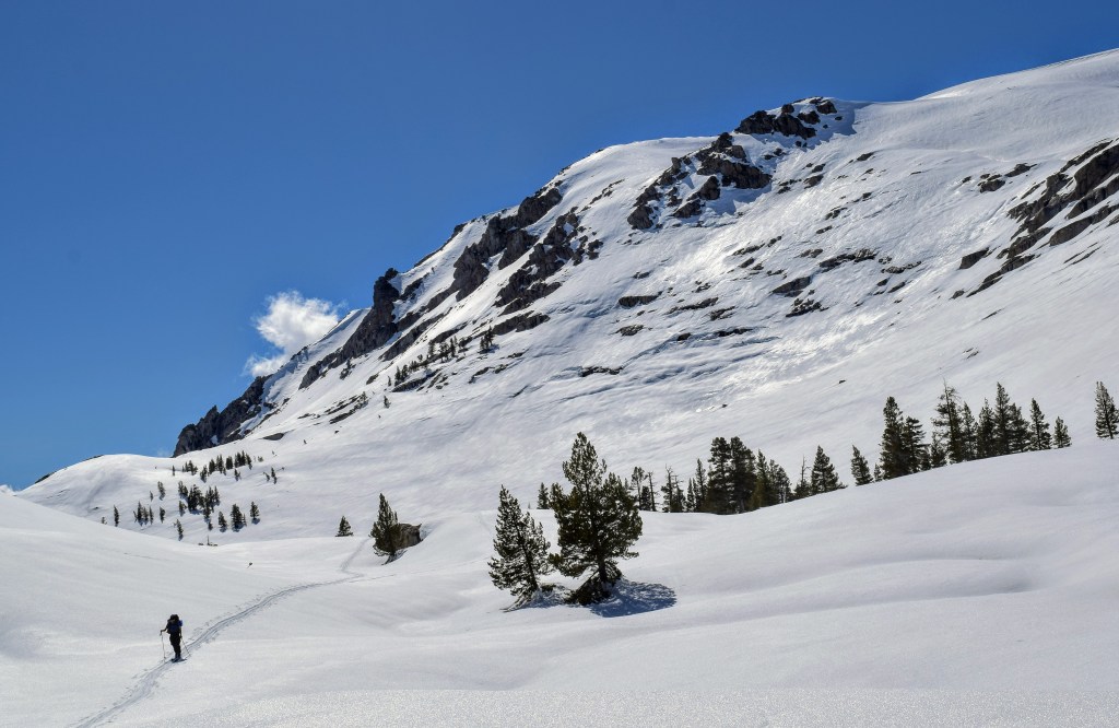
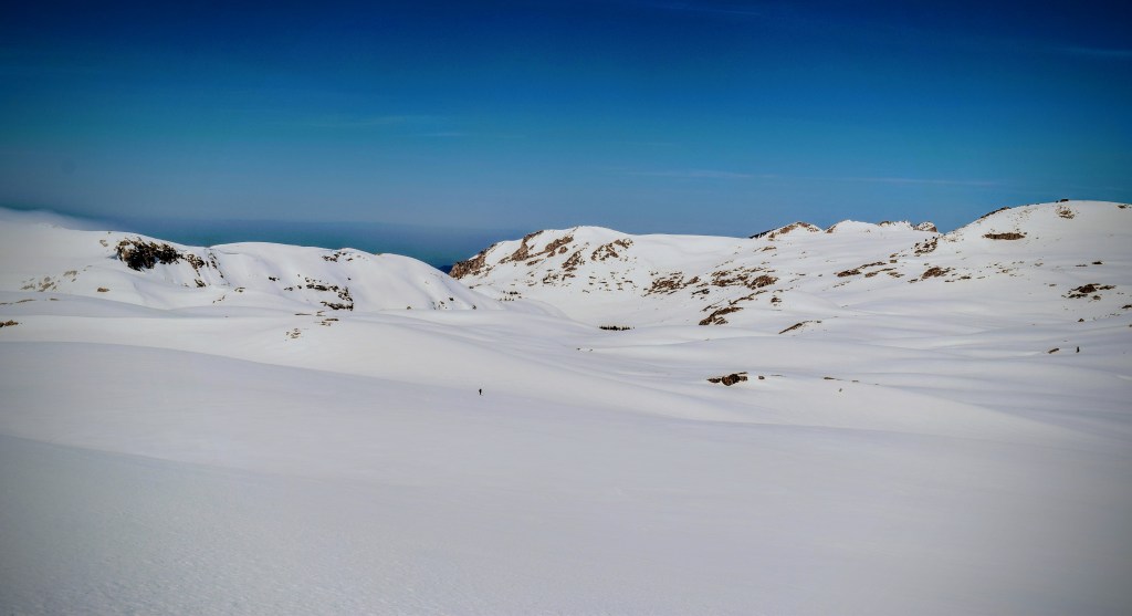
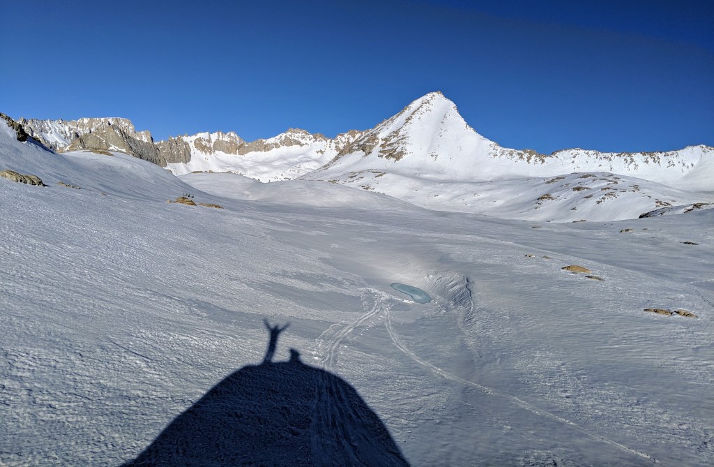
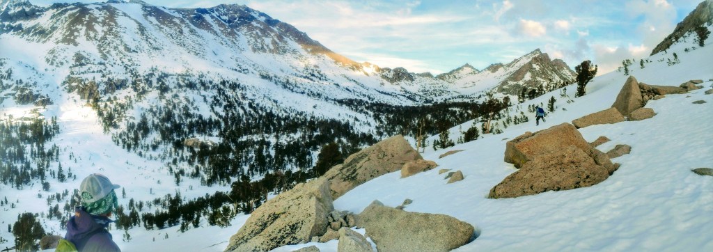
The west side of our ski route more precisely followed that of the Sierra High Route, as compared to our East-side exit. We passed over Coppermine Pass (12,100′) and Triple Divide Pass (12,200′), traveling through the gorgeous and vast Cloud and Deadman Canyons. We then made our way up to just above 13,000 feet, and the high point of our tour, Milestone Pass.


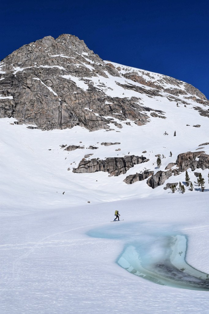


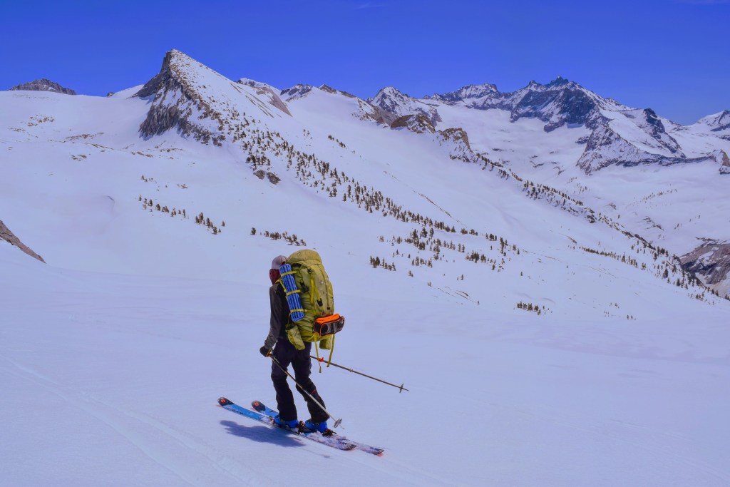
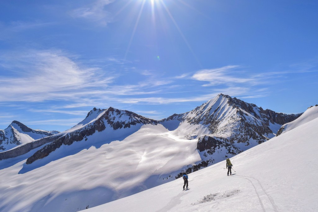
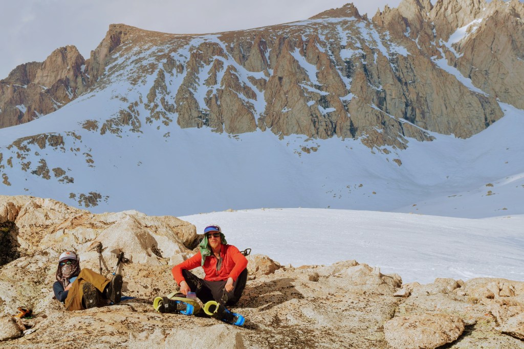
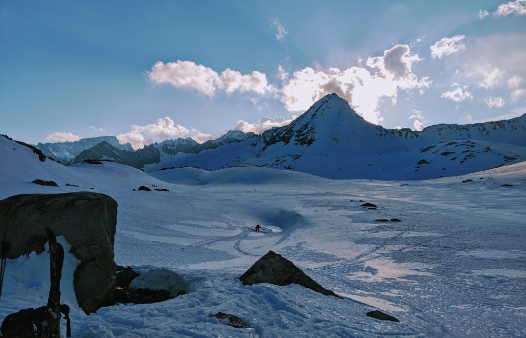
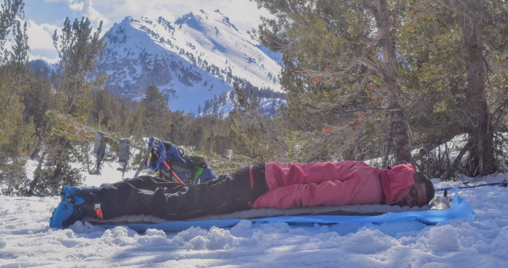
We spent a long, hot and sunny day in the Kern River Canyon as we climbed up towards the impressive flanks of Mt Ericsson and Mt Stanford. Sun fatigued and delirious we took mid-day refuge under a rock casting the only shade in sight. The rock became our shelter and camp for the night, especially after we found fresh drinking water welling up from a hole dug down into the snowpack.


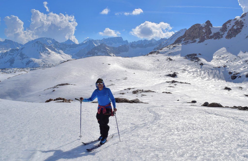

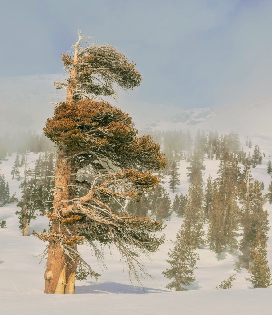
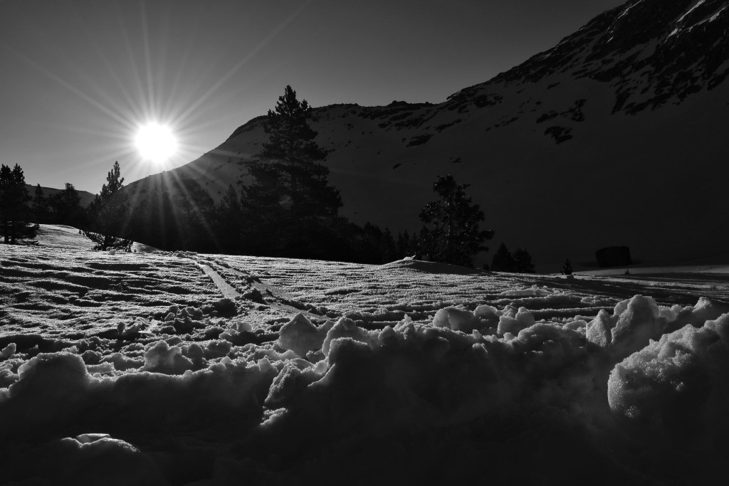
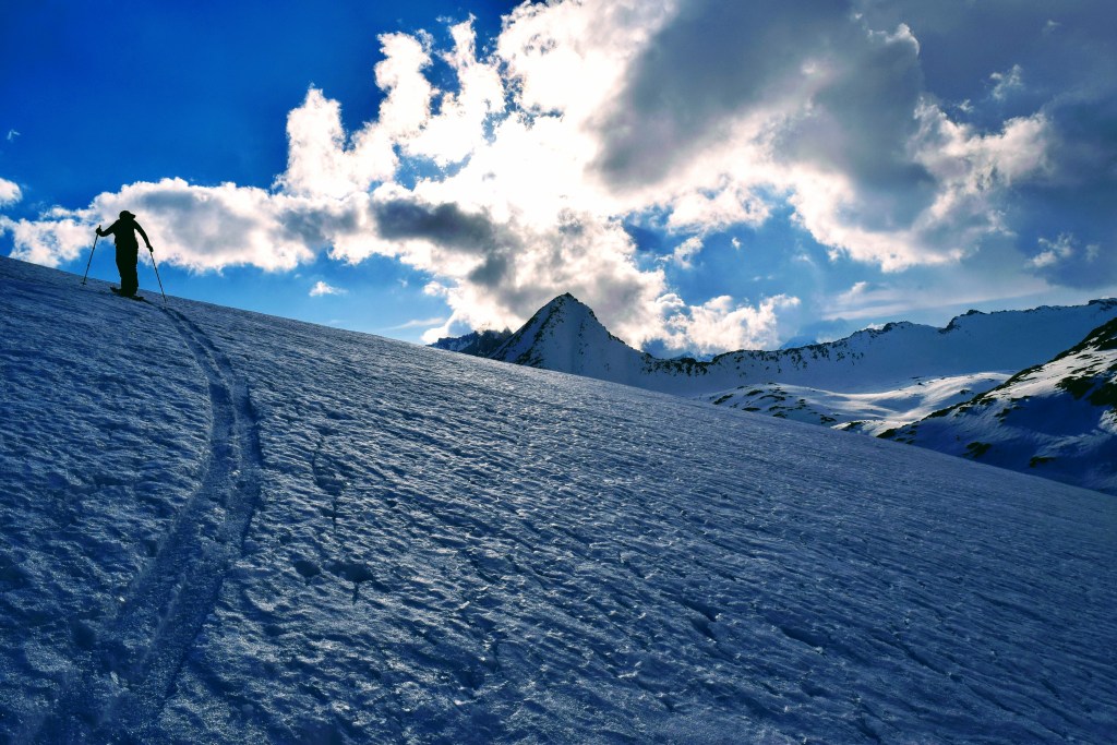
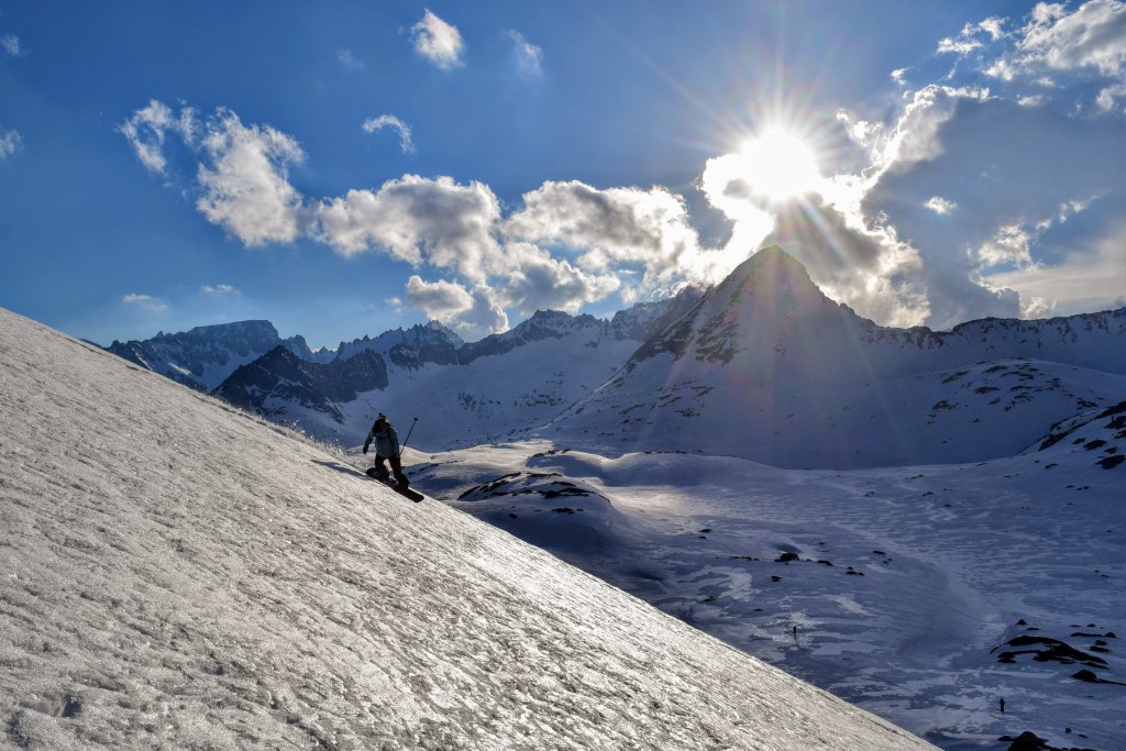
There is something that feels magical about a little evening glisse during the golden hours of sunset after we reach and set up our camp. Heavy packs left behind and feeling able to climb and ski with such relative freedom. No trailheads or parking lots to hustle back to, no need to race the impending darkness, just being present in the mountains. My personal highlights of these types of trips are some of these moments. We arced turns down the low-angle benches of punchy and re-freezing spring snow on Caltech Peak above our camp. We boiled water for another dehydrated dinner; all the while planning our future dream descents of the amazing terrain in every direction.


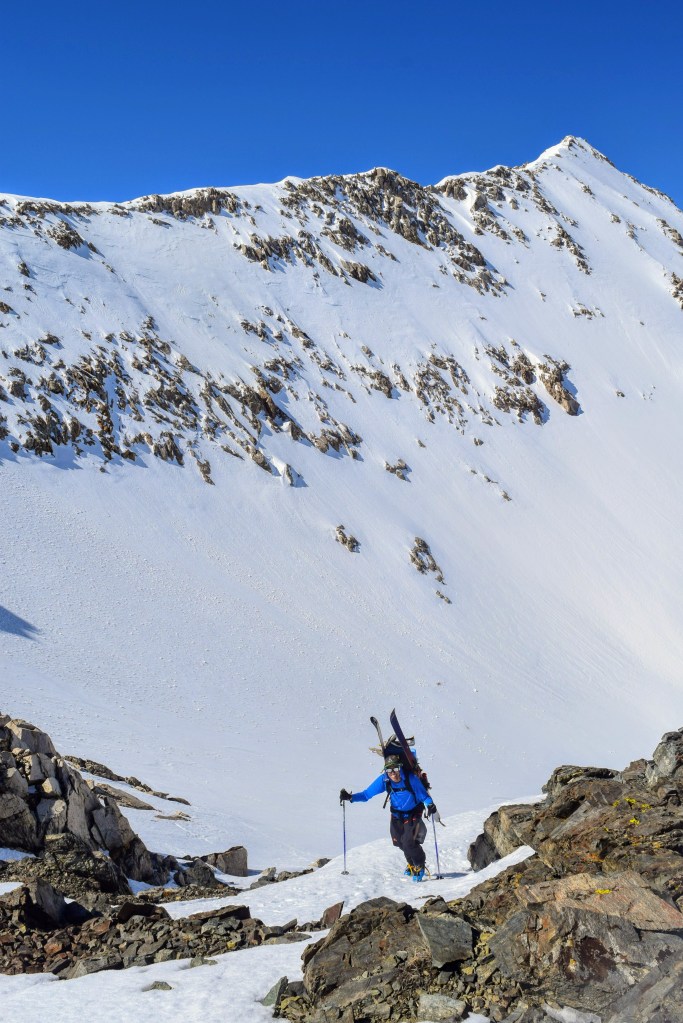
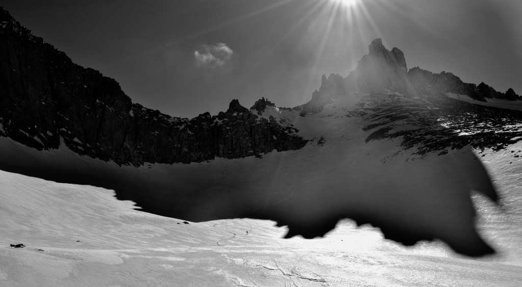
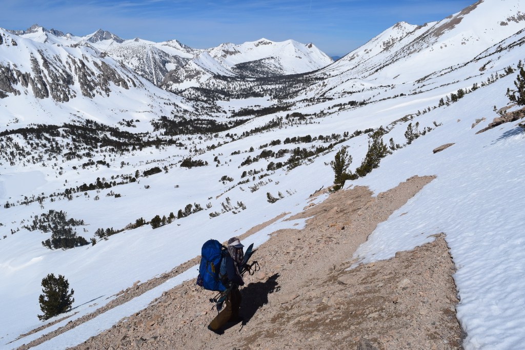
Our spiciest moments of skiing were while crossing over Harrison Pass (12,800′) and onto Dearhorn Saddle (12,600′). We strayed from the High Sierra Route at this point, skiing over Harrison and Dearhorn in close succession, then traversing alongside Deerhorn Mountain and into Vidette Creek Canyon. This would lead us down, down, down to the area of Bubbs Creek (8,300′) and back up to Bullfrog Lake (10,600′) for our final night.


After the arduous climb to Bullfrog Lake we were in position for one final night in the hills, a quick climb over Kearsarge Pass (11,800′) and a descent down the East side of the Sierra to Onion Valley. We were to supposedly find a rental car left “at the snow line” some 10 days prior by our west traveling cohort. We enjoyed another sunset gliding on the slopes above camp; staying present in the sublime of the alpenglow while our minds inevitably drifted towards slices of pizza, warm showers and the comforts of home.


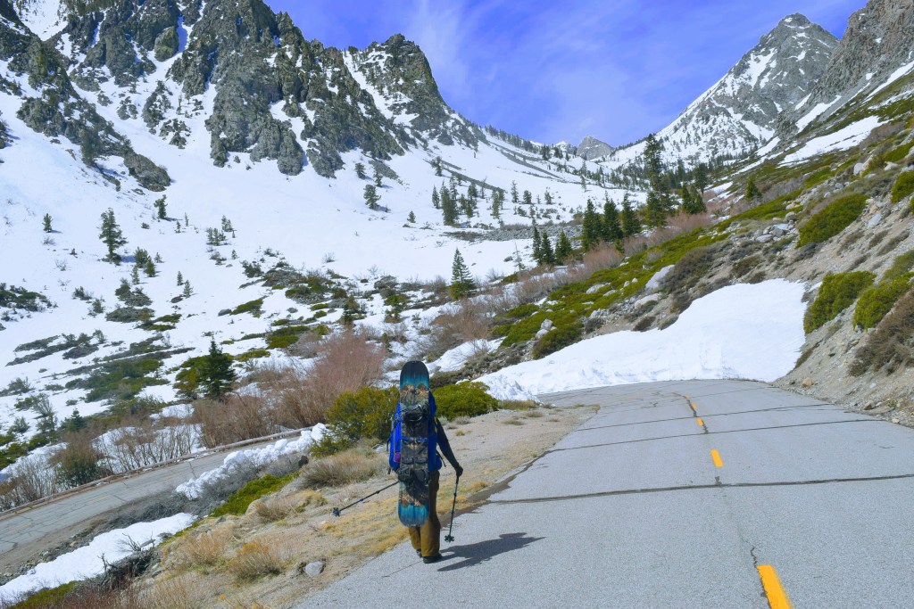
The rental car was located, we changed into the clean clothes and sandals and we jammed all of our stinky gear and bodies in for the long drive through the desert back up to Truckee. We stopped for some mouth-watering pizza and cold beverages at the June Pie Pizza Company, a great new pizza joint in June Lake, on the way back home.


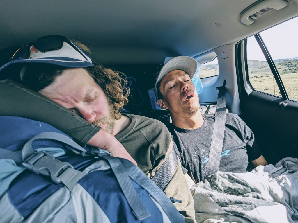
…and just like that, another successful and epic ski tour was in the books, in no time at all we were back to our “regular” lives… having skied across the Sierra.

Ben – this is incredible. The tour, the write up, and the PHOTOS. Great work.
LikeLike
Awesome to read of your adventure. Thanks for taking the time and effort to share.
LikeLiked by 1 person
Pretty remarkable, nice going! Am sure some of the climbs on these passes were challenging on skis.
LikeLike